Online store · Free delivery throughout Moldova · 0% installments +373 69 148 059 WhatsAppViberTelegram Callback roruen

Application area

Construction

Survey work on a construction site never stops, from setting out axes to as-built surveys. The accuracy of GNSS RTK and total stations helps you keep to the design and control the volume of work.

Construction

What the equipment is used for

Axis layout and design stakeout

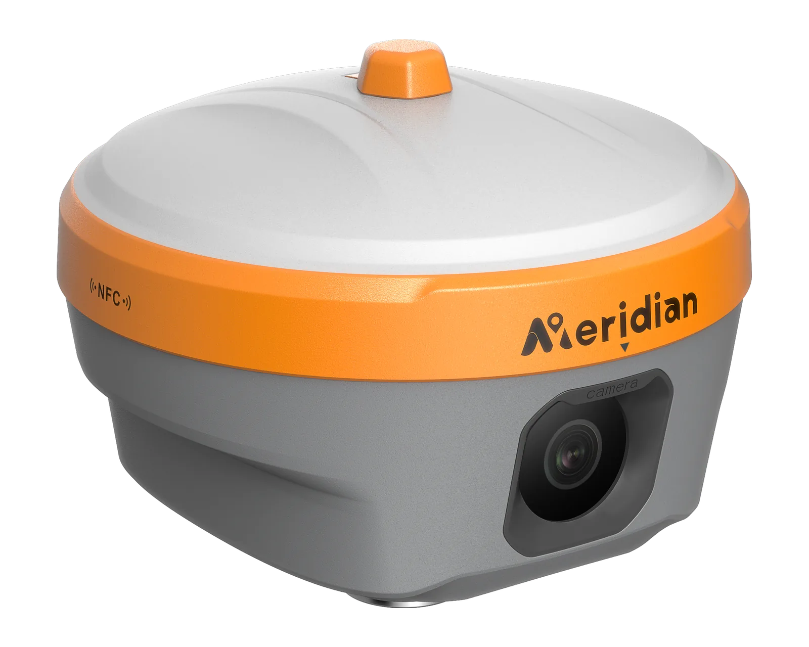
Transferring axes, building corners and design elevations to the site. On open areas a GNSS rover does the job, while M25 and M20LV support AR stakeout: design points appear on screen over the camera image.

Total stations for precise layout

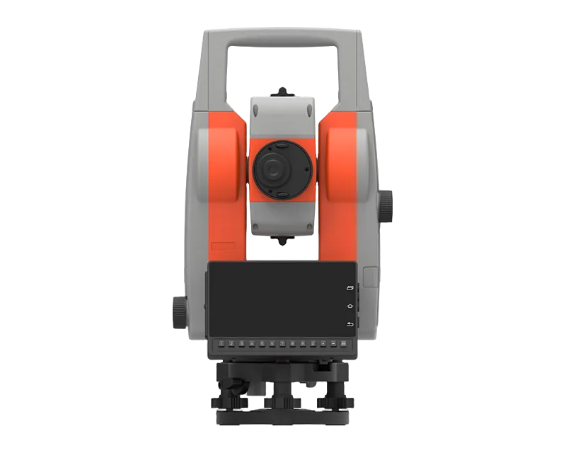
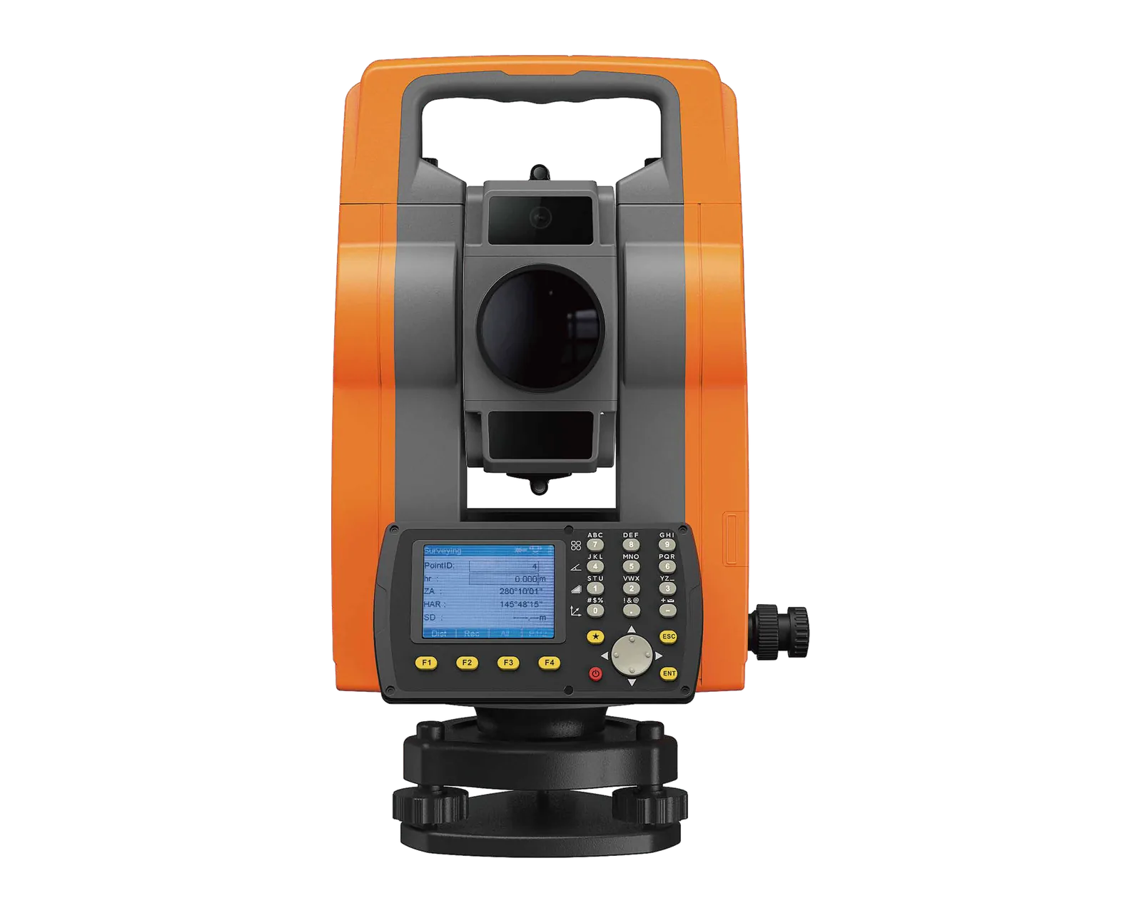
Where high accuracy is needed or the sky is blocked, total stations take over: the mechanical MTS-102, the Android-based MTS-A1 and the robotic MTS-R1, which one person can operate.

As-built survey

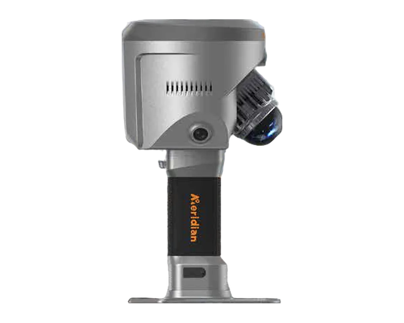
Recording the actual position of built elements to compare with the design. The SuperRTK SLAM-RTK system delivers a point cloud directly in absolute coordinates: RTK provides the coordinate constraints, so loop closure is not required.

Earthwork volume control

Surveying the surface before and after the work lets you estimate cut and fill volumes. The laser and photogrammetry in M20L and M20LV help capture hard-to-reach points.

Excavator machine control

M2-MC is a GNSS RTK excavator control system. It installs without welding, and the Auto-Grading function guides the bucket to the design elevation.

Corrections on site

On a construction site corrections usually come from your own base station or, via NTRIP, from a network of permanent stations. If several rovers work on the site at once, your own base is more convenient. More in the article RTK: correction network or your own base.

How to choose a kit

Describe your task

Tell us what work you do, on what kind of terrain and what accuracy you need.

We select the equipment

We will suggest the receiver, base station, field controller or total station that fits the job.

Quote and delivery

We prepare a commercial quote and agree the lead time; delivery terms are described on a separate page.

See also Surveying and Precision agriculture. For selection questions, write to us on the Contacts page; all equipment is in the catalog.

Meridian equipment at work — Construction
Meridian equipment at work

§Equipment for this area

Meridian

M25

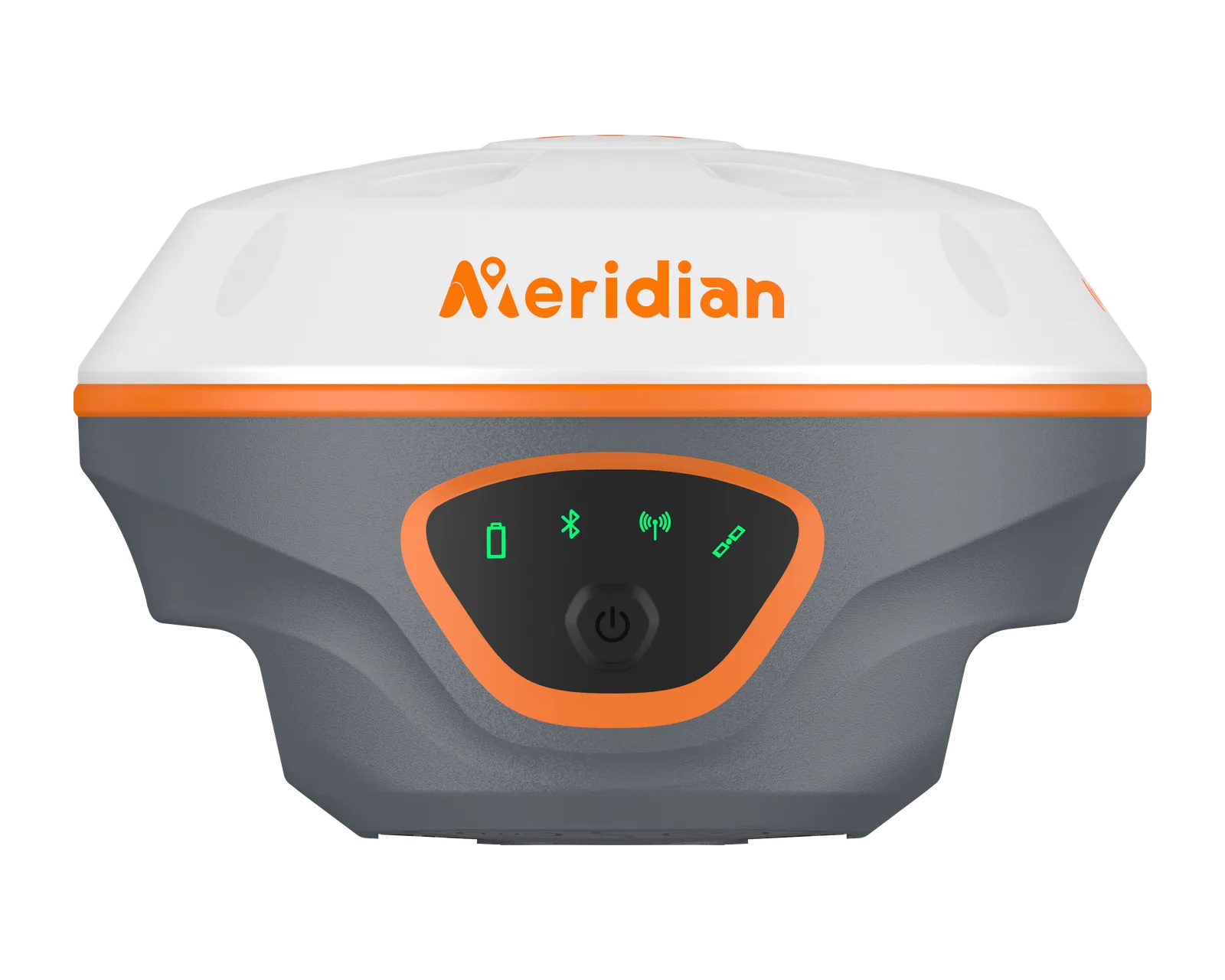
High-precision GNSS RTK receiver with a 120 m laser, AR camera and calibration-free IMU.

  • Tilt compensation accuracy ≤2cm
  • Radio working distance ≤ 15 km
  • Operating time, RTK rover ≤ 22 h
  • Weight ≤ 900 g

In stock 71 700 52 900 MDL incl. VAT

Details

Meridian

M20L

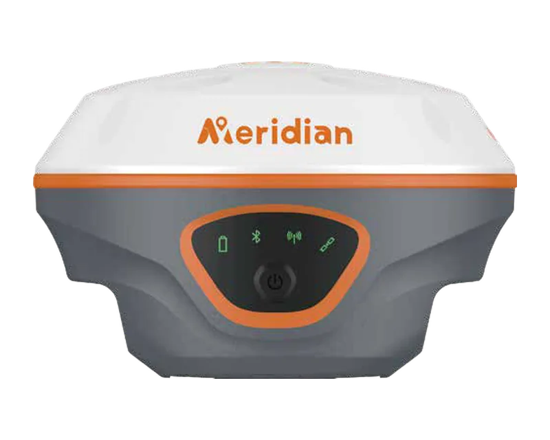
Palm-size GNSS RTK receiver with a green laser, calibration-free IMU and 4G.

  • Tilt compensation accuracy ≤2cm
  • Radio working distance 15km
  • Operating time, RTK rover ≤ 20 h
  • Weight ≤ 699 g

In stock 64 800 47 700 MDL incl. VAT

Details

Meridian

M20LV

All-in-one GNSS receiver combining laser, photogrammetry, AR stakeout and a calibration-free IMU.

  • Radio working distance ≤ 15 km
  • Weight 699 g

On order Price on request

Details

Meridian

MTS-A1

Android total station with a 6-inch touchscreen, AR camera and hot-swappable batteries.

  • Weight 7000 g
  • Angle measurement accuracy 2 ″
  • Range, single prism 4000 m
  • Range, reflectorless 1000 m

On order 74 900 59 900 MDL incl. VAT

Details

Meridian

MTS-R1

Robotic total station with 1″ angle accuracy, automatic prism recognition and dual touchscreens.

  • Weight 7000 g
  • Angle measurement accuracy 1 ″
  • Range, single prism 3500 m
  • Range, reflectorless 1000 m

On order 606 300 MDL incl. VAT

Details

Meridian

MTS-102

Manual total station with absolute encoding, 2″ angle accuracy and 1000 m reflectorless range.

  • Weight 5700 g
  • Angle measurement accuracy 2 ″
  • Range, single prism 4000 m
  • Range, reflectorless 1000 m

On order 46 800 MDL incl. VAT

Details

Meridian

M2-MC

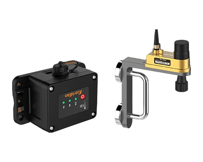
GNSS RTK excavator guidance system with simple installation, no welding.

  • Ingress protection (IP) IP68
  • Auto-grading precision ±1-3cm

On order Price on request

Details

Meridian

SuperRTK

SLAM-RTK system that integrates RTK positioning with visual-LiDAR SLAM scanning.

  • Weight 2138 g
  • Point measurement rate 200000 pts/s
  • LiDAR range at 80% reflectivity 0.1 ~ 70 m
  • Absolute accuracy (SLAM) ≤ 5 cm

On order 168 500 MDL incl. VAT

Details

Full catalog

Construction

Not sure which one to choose?

Describe the task — we will help choose the equipment and prepare a quote.