Online store · Free delivery throughout Moldova · 0% installments +373 69 148 059 WhatsAppViberTelegram Callback roruen

Meridian

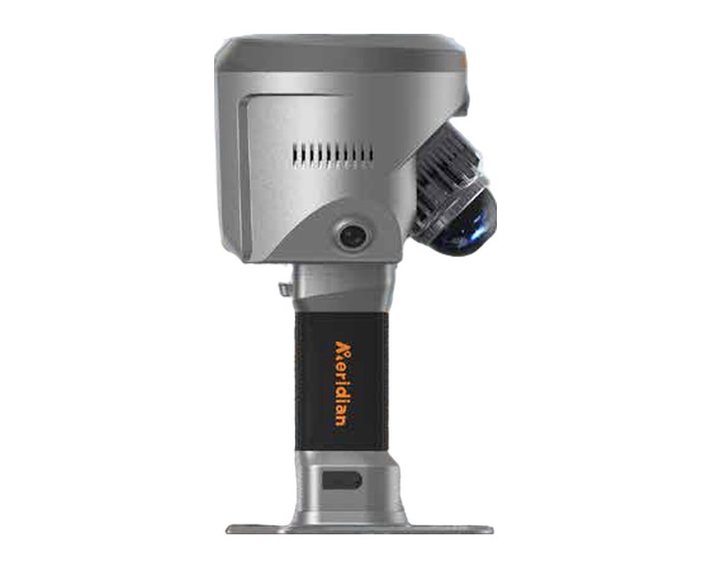
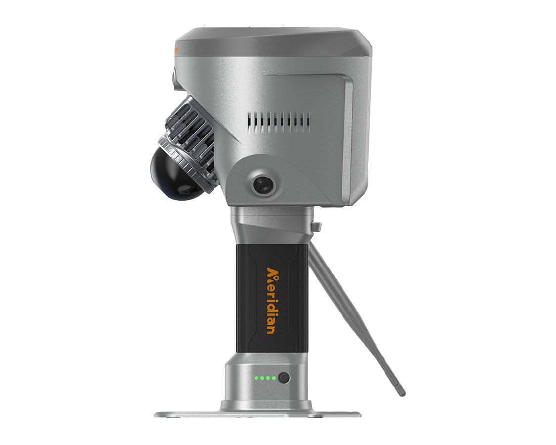
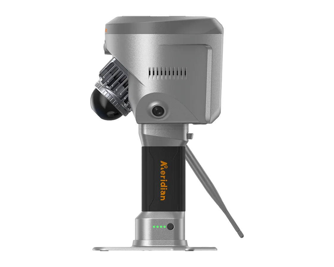
Meridian SuperRTK

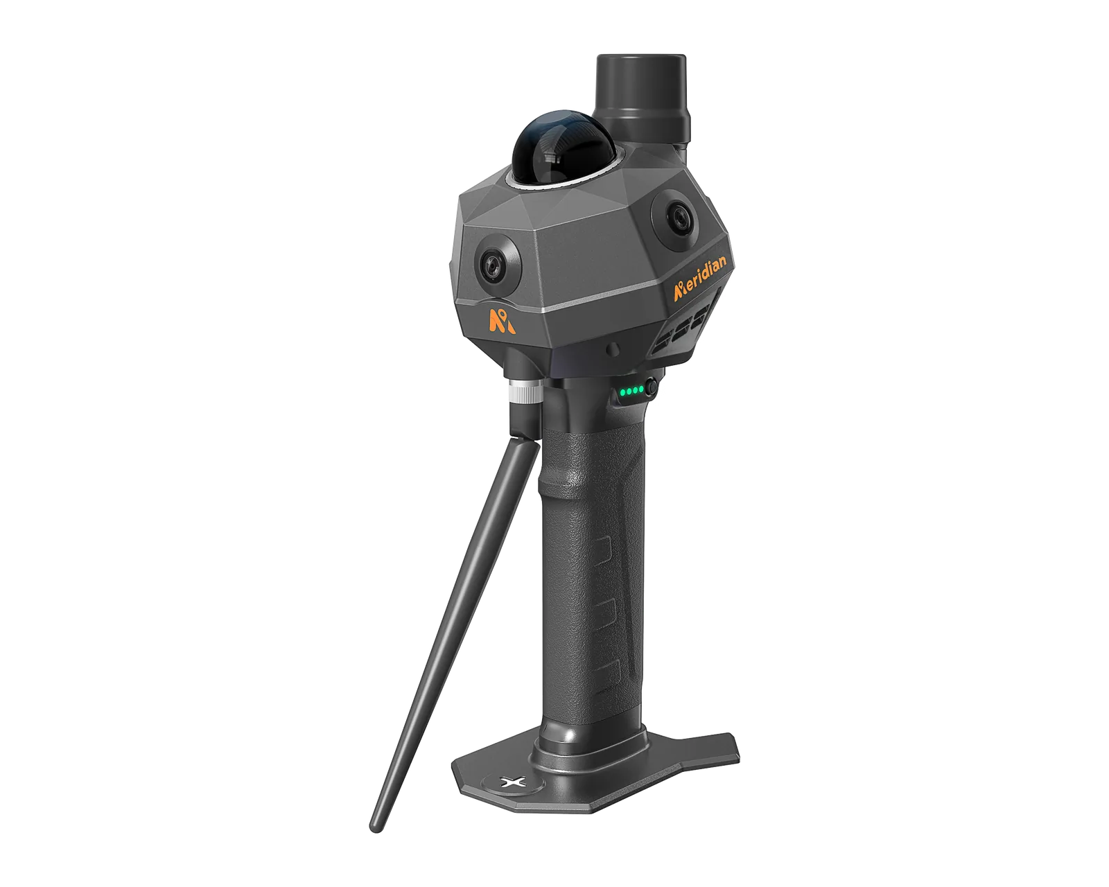
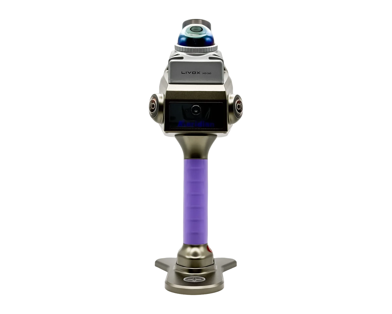
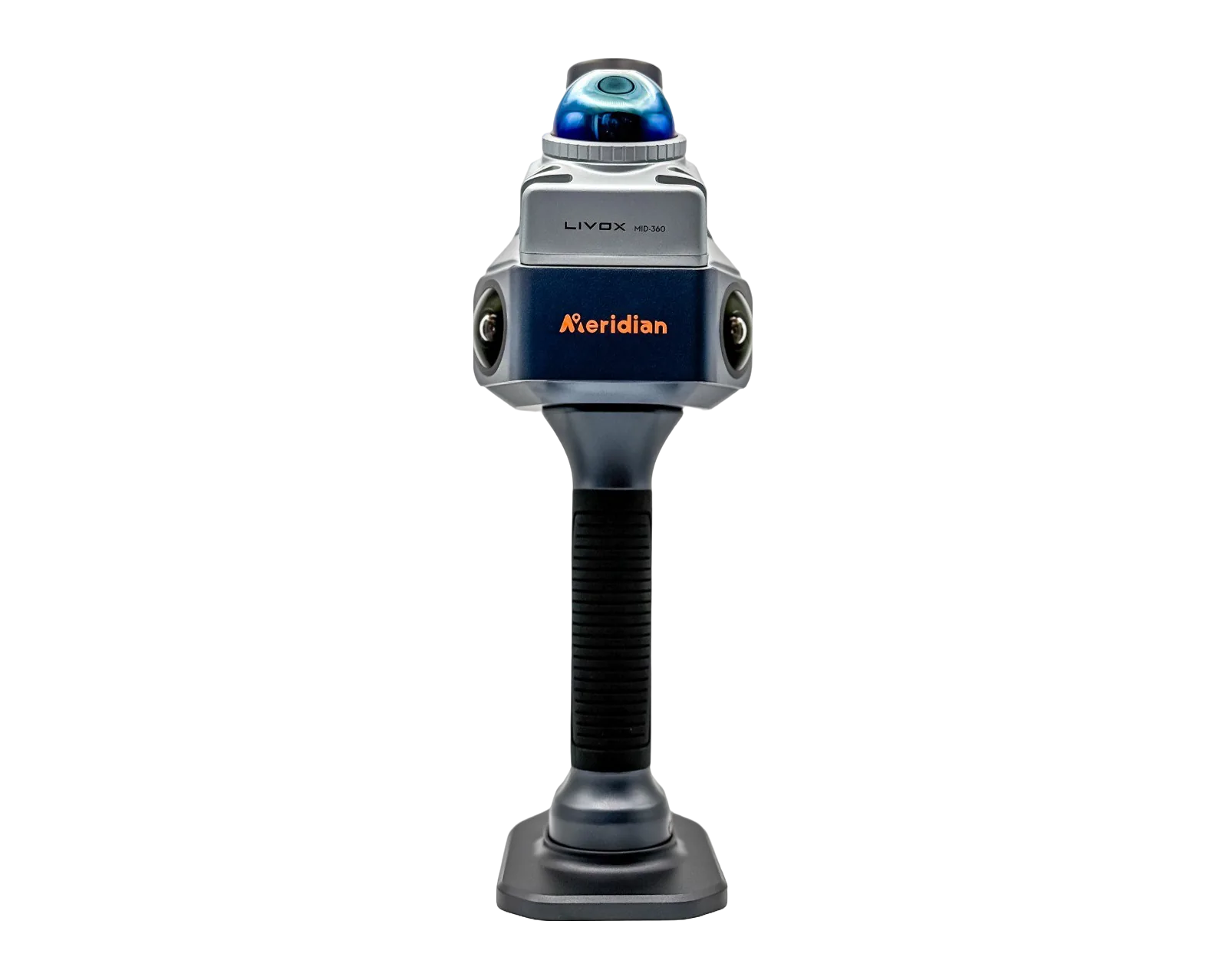
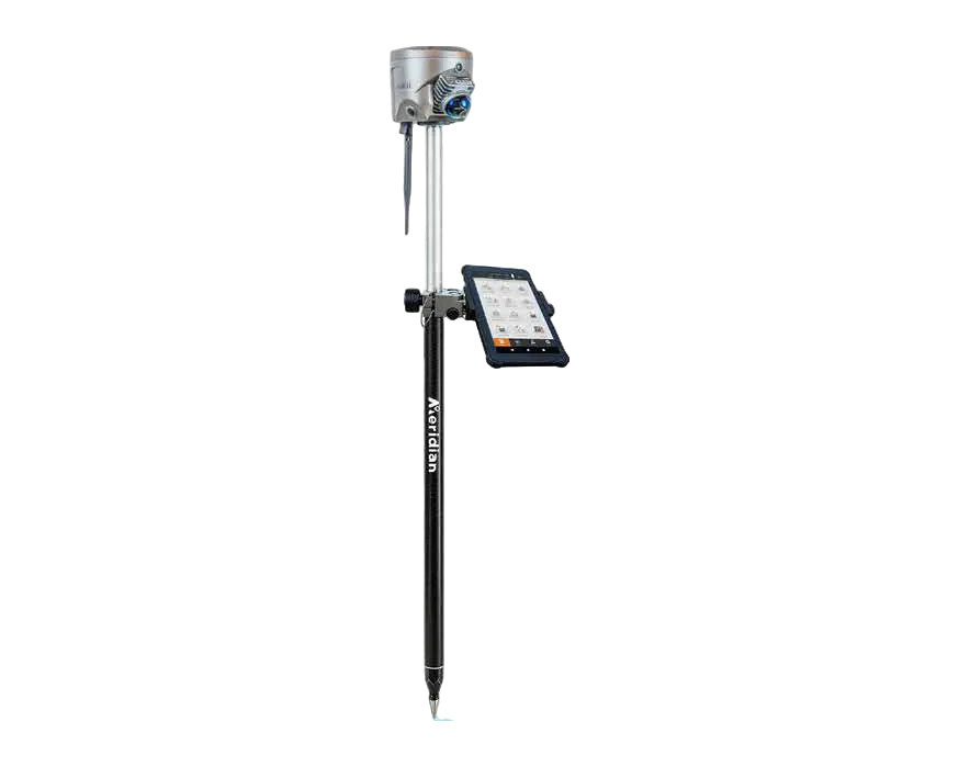
SLAM-RTK system that integrates RTK positioning with visual-LiDAR SLAM scanning.

  • Weight2138 g
  • Point measurement rate200000 pts/s
  • LiDAR range at 80% reflectivity0.1 ~ 70 m
  • Absolute accuracy (SLAM)≤ 5 cm
Model
SuperRTK
Brand
Meridian

Meridian SuperRTK is an intelligent SLAM-RTK surveying system: a GNSS RTK receiver and a visual-LiDAR SLAM scanner in one device. After GNSS signal loss, 5 cm accuracy is kept for up to 10 minutes thanks to RTK and SLAM fusion.

On order

168 500 MDL Price incl. VAT

0% installments via Iute or Easy Credit. Online application and free delivery throughout Moldova. IuteEasy Credit

Request a quote Call

Ask via messengerWhatsAppViberTelegram

01Description

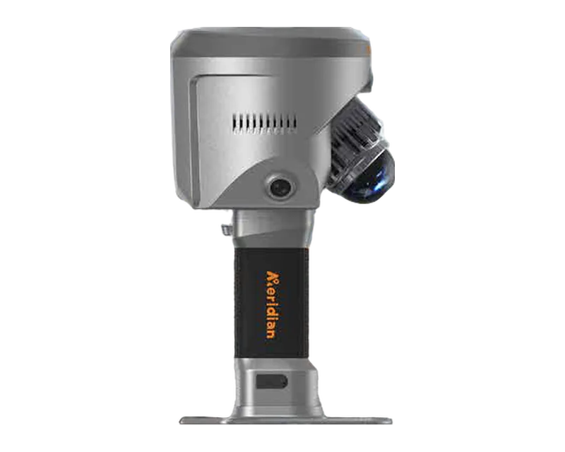
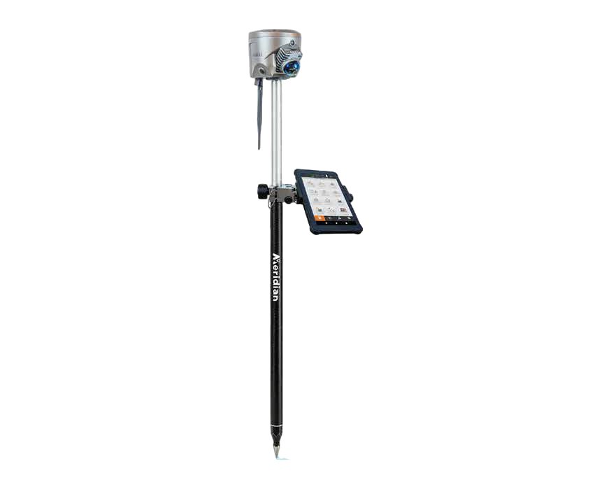
The LiDAR is mounted at a 45° downward angle with 200,000 pts/s, 40 laser channels and 10 Hz. No loop closure is needed: RTK supplies absolute coordinate constraints. The device works handheld or pole-mounted, in radio, CORS and PPP modes, and the colored point cloud is visible in real time in the Android app. It weighs 2138 g.

Key features

  • Keeps 5 cm accuracy for up to 10 minutes after GNSS signal loss (RTK + SLAM fusion)
  • LiDAR at a 45° downward angle: 200,000 pts/s, 40 laser channels, 10 Hz
  • Free scanning without loop closure
  • Handheld or pole-mounted operation
  • Real-time color point cloud in the Android app
  • All-in-one RTK: surveying, stakeout, data collection, AR navigation; radio, CORS and PPP modes
  • 3 panoramic 2 MP cameras and a 5 MP AR camera
  • Meridian Lidar GO and Meridian Lidar Studio software

Typical use

The SuperRTK suits work where scanning must stay tied to absolute coordinates, including passes through areas with a weak or interrupted GNSS signal.

For configuration and availability, send a request for a quote.

02Specifications

GNSS signals

Number of channels1408
GPSL1C/A, L1C, L2P(Y), L2C, L5
GLONASSL1, L2
BeiDou (BDS)B1I, B2I, B3I, B1C, B2a, B2b
GalileoE1, E5a, E5b, E6
QZSSL1C/A, L1C, L2C, L5, L6
SBASL1
NavIC (IRNSS)L5
L-band correctionsB2b PPP (Only for the Asian-Pacific Region) & HAS*
Correction data formatsCMR, CMR+, RTCM2.X, RTCM3.X
Data update rateUp to 50Hz
Initialization time<5s(classic value)
RTK initialization reliability99.99%

Positioning accuracy

RTK accuracy (RMS), horizontal0.8 cm + 1 ppm
RTK accuracy (RMS), vertical1.5 cm + 1 ppm

Tilt compensation and IMU

Tilt compensation accuracyWithin 60°, accuracy < 2 cm, up to 120°

Cameras

Camera system3*2MP Panoramic camera | 5MP AR stakeout camera
Camera field of view360 * 129°

Communication

BluetoothBT 5.2 Module, V2.1+EDR/4.2 /5.2
Wi-FiIEEE802.11 a/b/g/n/ac/ax
LTE FDD bandsB1/B2/B3/B4/B5/B7/B8/B12/B13/B18/B19/B20/B25/B26/B28
LTE TDD bandsB38/B39/B40/B41
WCDMA / UMTS bandsB1/B2/B4/B5/B6/B8/B19
GSM / GPRS / EDGE bandsB2/B3/B5/B8

Internal radio modem

Radio frequency range410-470MHz
Radio protocolsSOUTH, TRIMTALK 450S, TRIMMK III, TRANSEOT, SATEL, Meridian Link
Air baud rate9600, 19200, 11000

System and memory

Internal storageInternet SSD 256GB
Operating systemLinux
Data processingReal-time processing, PPK

Power supply

Battery (voltage / capacity)23.76Wh, 3300mAh/7.2V
ChargingType-C: PD3.0/2.0, BC1.2 fast-charging
Handle battery36Wh, 5000mAh/7.2V(Supports hot swapping, prioritize charging handle battery)
Power inputInternal Battery: 20V/1A | Handle Battery: 20V/0.5A | Lemo: 5V-16V

Operating conditions and protection

Operating temperature-10 ~ +40℃
Ingress protection (IP)IP54
Conditions of useDesigned for indoor and outdoor use

Physical characteristics

Dimensions136.8 × 136.8 × 128.5 mm
Weight2138g

Data and formats

Data transferUSB 3.0 Type-c
SLAM export formats.bin, .txt, .asc, .neu, .xyz, .pts, .csv, .las, .laz, .e57, .sbf, .ply, .vtk, .dxf, .pcd, .shp, .pov, .pn, .pv

LiDAR and imaging

LiDAR laser classClass 1/905nm
Laser channels40
LiDAR field of view, horizontal360°
LiDAR field of view, vertical-7° ~ 52°(Place tilted down at 45°)
Point measurement rate200,000 pts/sec
Point cloud frame rate10 hz
LiDAR range at 10% reflectivity0.1 ~ 40 m
LiDAR range at 80% reflectivity0.1 ~ 70 m
LiDAR mounting angle45° downward

SLAM accuracy

Absolute accuracy (SLAM)≤ 5cm
Average accuracy (SLAM)3 cm
Relative accuracy (SLAM)≤ 1cm
Point cloud thickness≤1cm
Accuracy after GNSS loss5cm for up to 10 minutes

Software

Mobile appSupports preview of color point clouds, Android compatibility
Processing softwareSupports spatially correlated viewing of point clouds and panoramic photos
OperationSupport Handheld scan Support surveying pole connection, Support Magsafe

03Documents

→Similar products

Meridian

MS80

Handheld SLAM LiDAR scanner with dual RTK (NTRIP CORS and 2 W radio) and real-time preview.

  • Weight 1380 g
  • Point measurement rate 200000 pts/s
  • LiDAR range at 80% reflectivity 70m@ 80%reflectivity
  • Absolute accuracy (SLAM) ≤ 5 cm

On order 140 400 112 300 MDL incl. VAT

Details

Meridian

MS70

Handheld SLAM scanner with built-in RTK, two 16 MP cameras and up to 200,000 points per second.

  • Weight 1079 g
  • Point measurement rate 200000 pts/s
  • Absolute accuracy (SLAM) < 5 cm

On order 182 500 MDL incl. VAT

Details

Meridian

ML1

Portable SLAM scanner of about 1 kg with two wide-angle cameras and relative accuracy better than 1 cm.

  • Weight 1010 g
  • Point measurement rate 200000 pts/s
  • LiDAR range at 80% reflectivity 70 m at 80% reflectivity

On order Price on request

Details

SuperRTK

Request a quote

Describe the task — we will help choose the equipment and prepare a quote.

+373 69 148 059